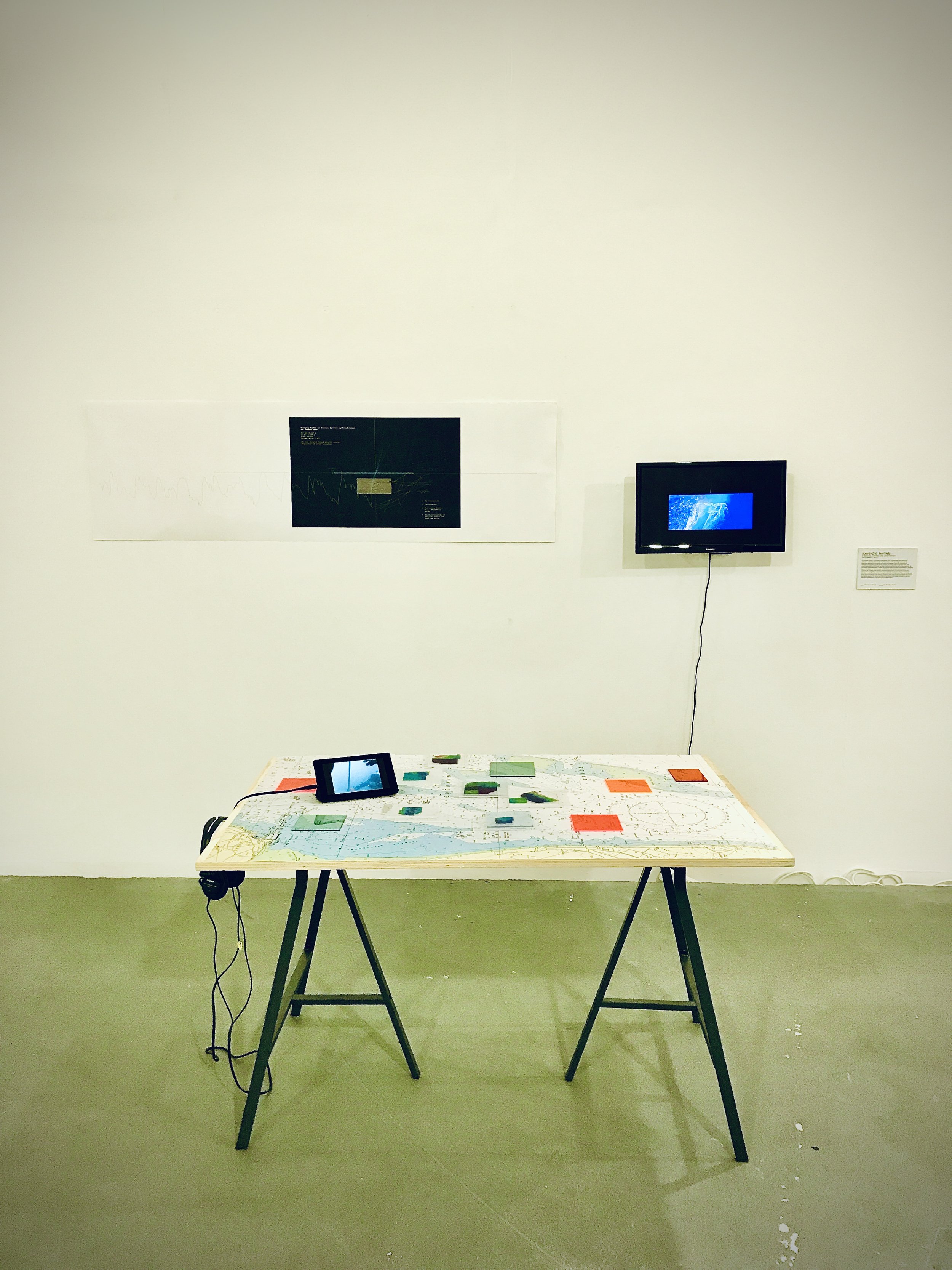
Surveying Rhythms: on Measures, Dynamics and Terraformation
Artistic Research Project
MA Research Architecture - Centre for Research Architecture
Goldsmiths University, London, UK September 2021
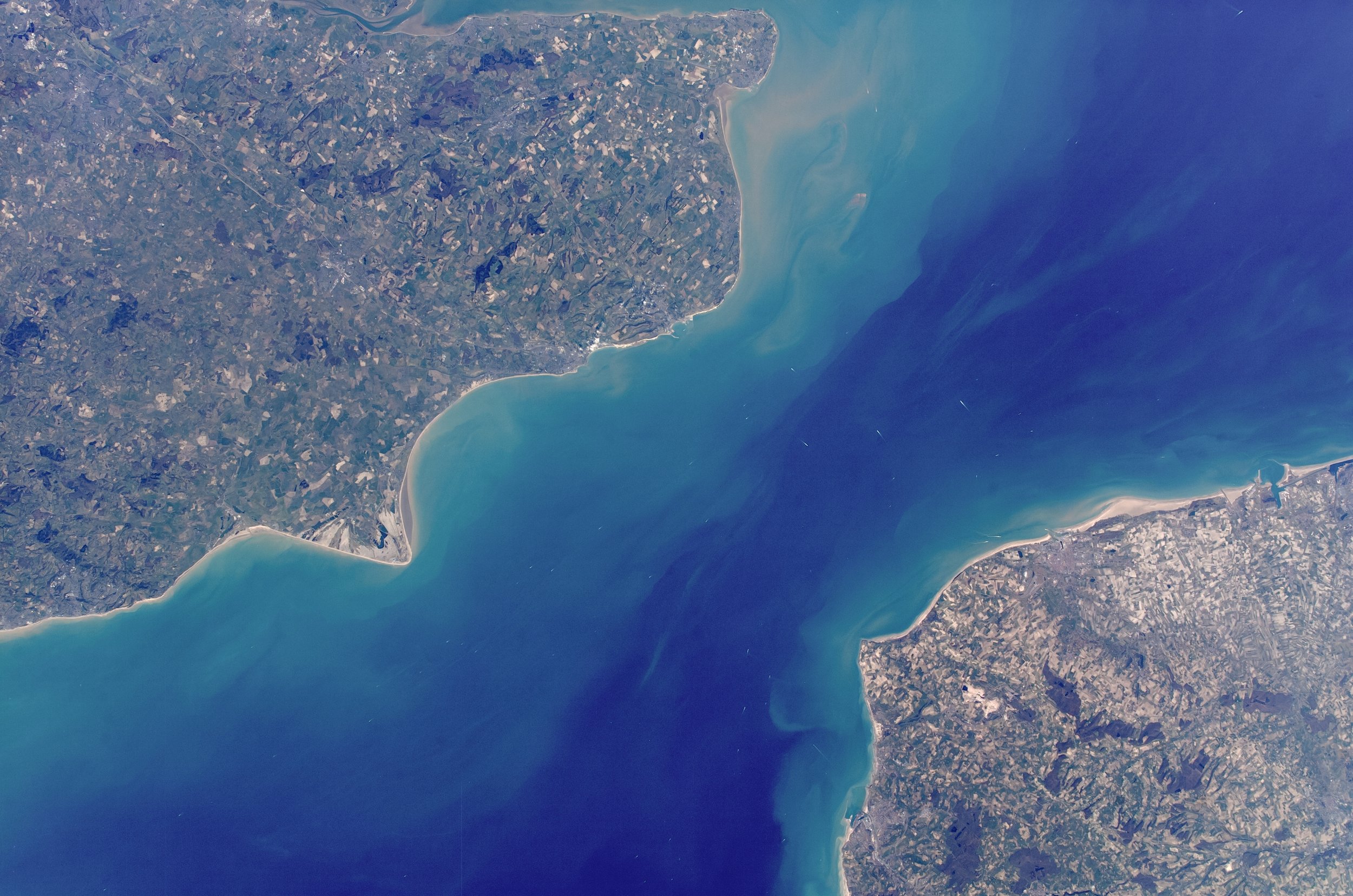
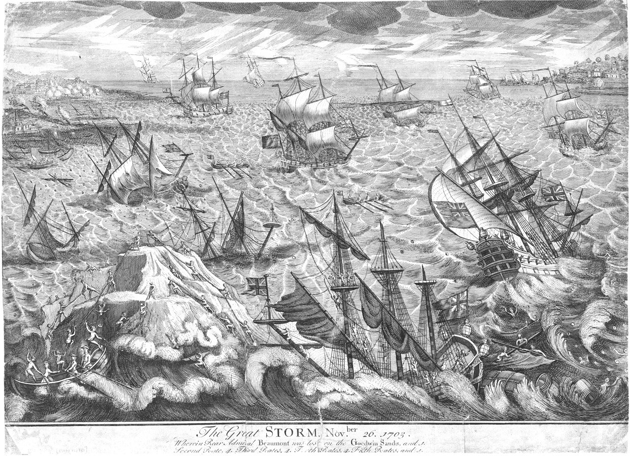
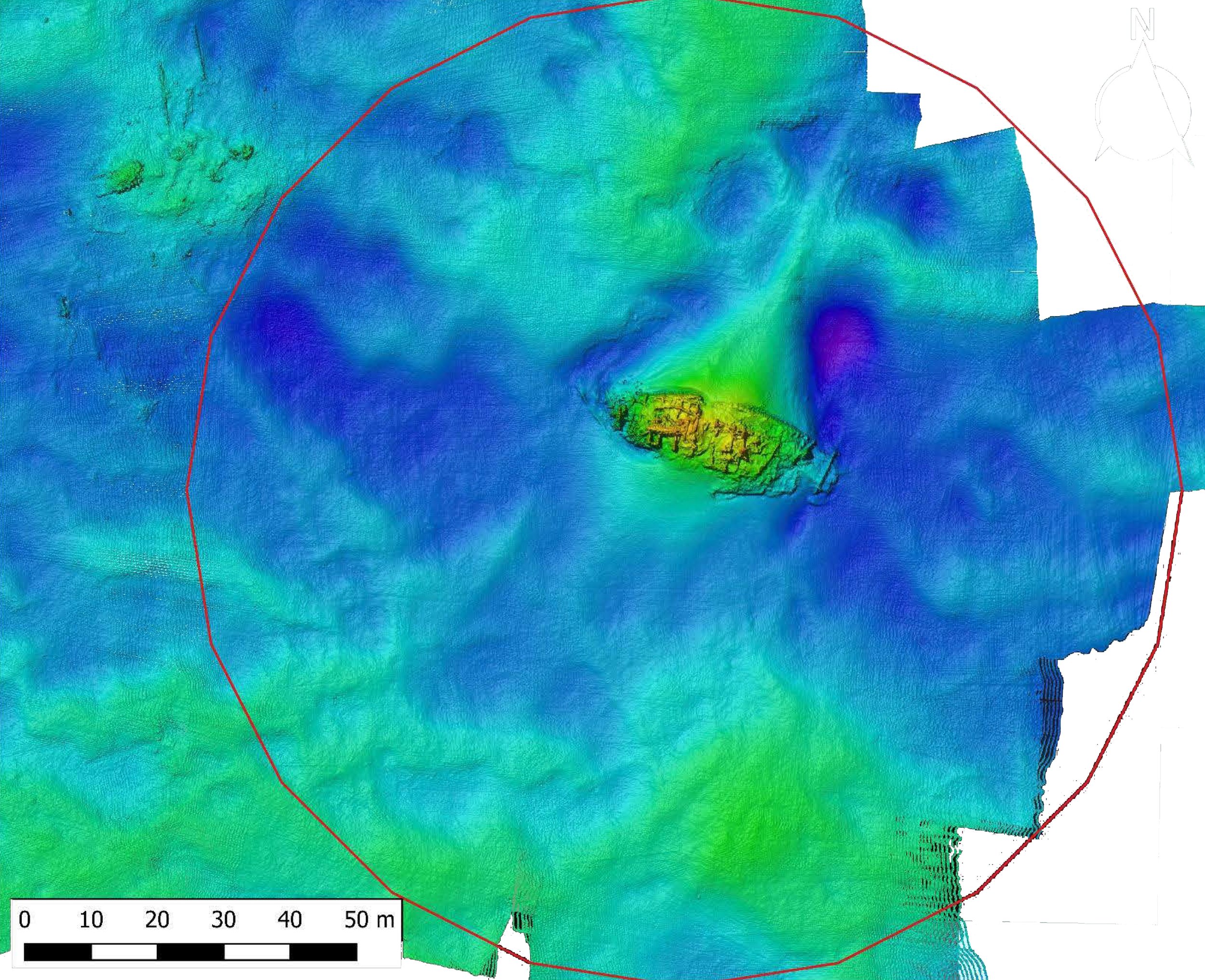
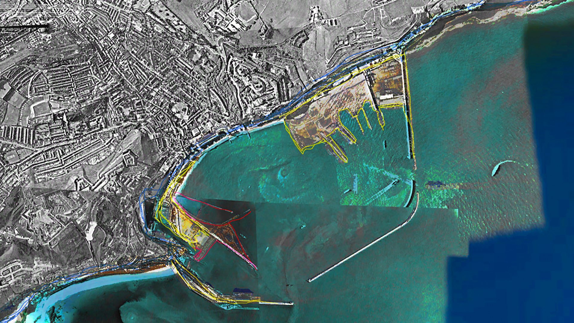
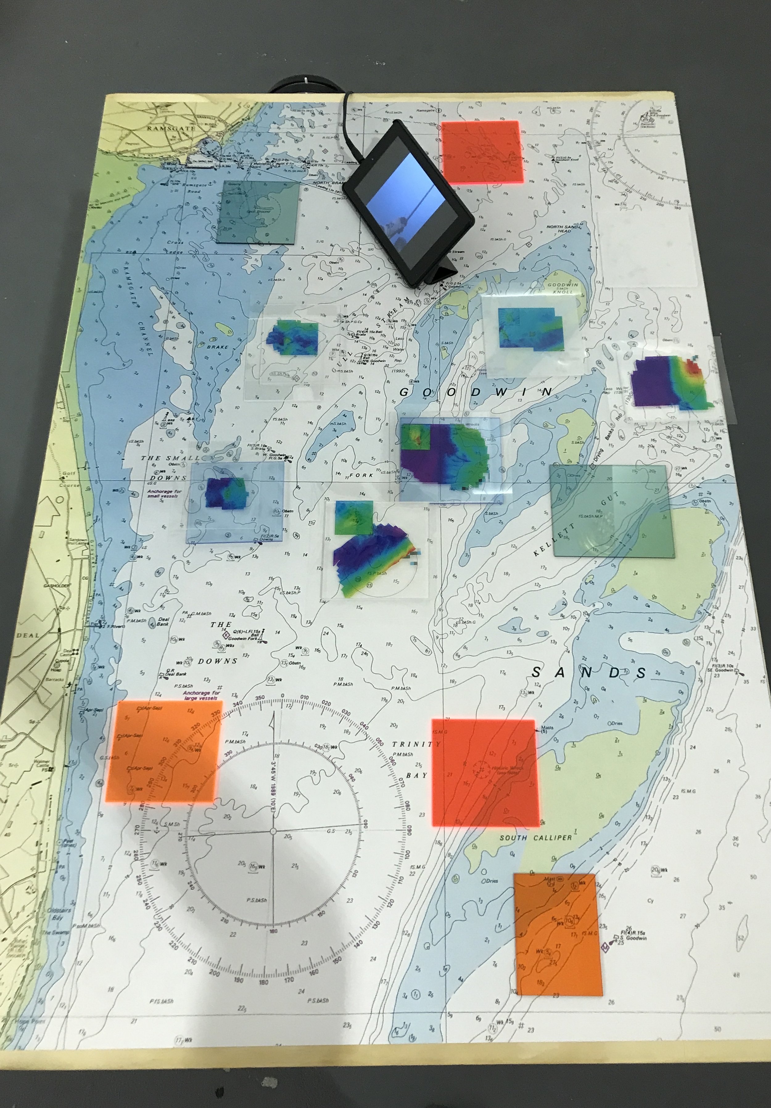
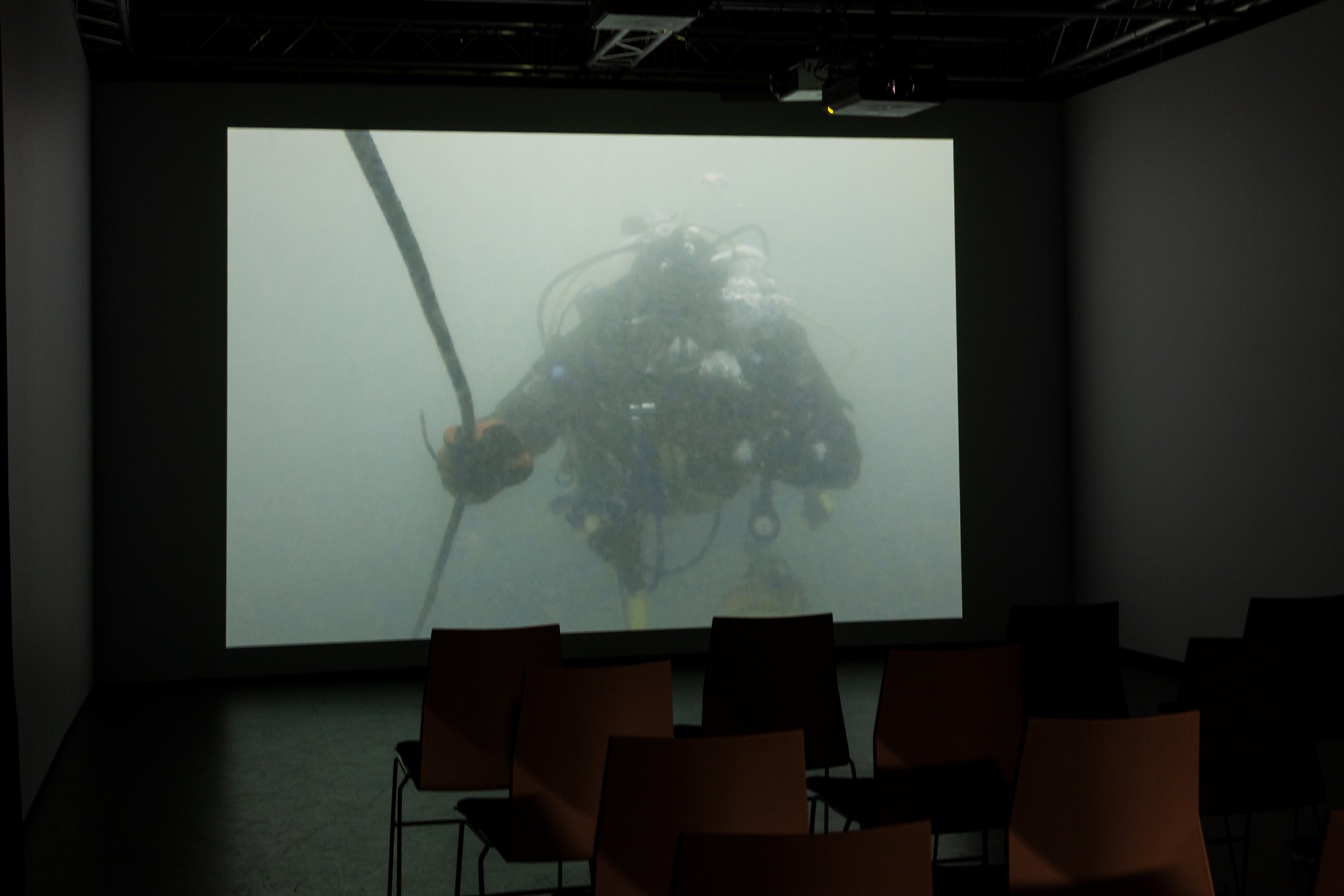
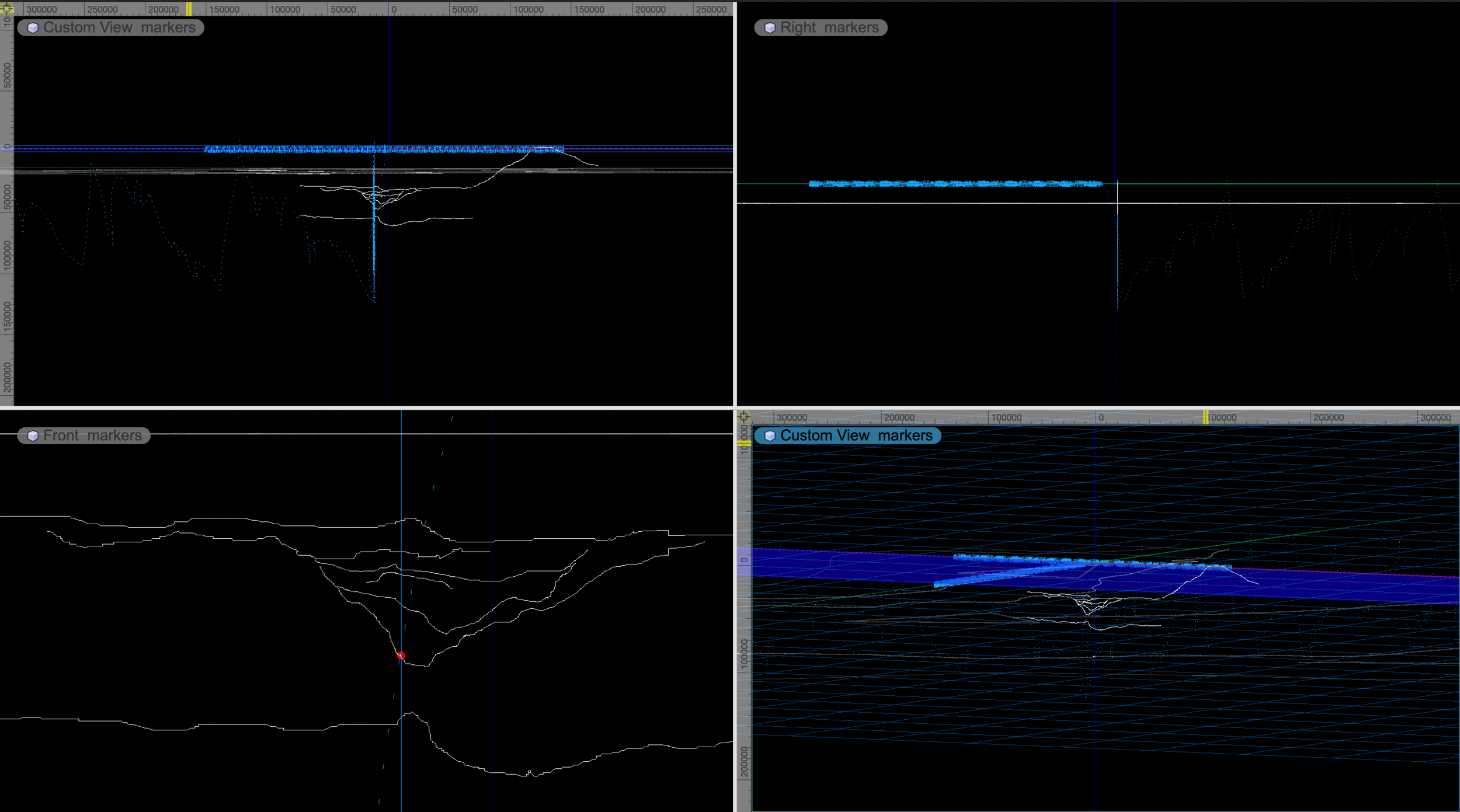
The Goodwin Sands, a large tidal sandbank, a marine conservation zone and UK´s largest underwater archeological site, is positioned in an intersection of rhythms constantly amplified by the ebb and flow of the submerged environment. Particularly affected by a multitude of forces and impulses - from the intricacies of sediment transportation to the macro dynamics of ocean currents and wind belts -, the incommensurability of the Sands has been instrumentalized by an extractive imaginary. As any image, digital bathymetric models and nautical charts are fixed representations, and fail to capture the dynamism and entanglements of a space in constant transformation. In an attempt to sense what exists in excess of quantification, it is precisely within the (image) processing that any error talks about the forces at play. A tearing artefact in the remote sensing, a miscalculation in navigation, or a failure in the model: they are all captured traces of the dynamism of the site. This research project looks at the possibilities of reversing the material event of the ‘error’ and follows the rhythms that collide outwards to explore a different understanding of the space and its relationships.
Videos: